When exploring the Whitsundays on a bareboat charter, it’s essential to understand the zoning rules that protect the incredible biodiversity of the Great Barrier Reef Marine Park. The zoning map outlines areas where certain activities are permitted or restricted, helping to preserve the reef for future generations. Whether you’re anchoring for the night, snorkelling a fringing reef, or fishing in designated zones, knowing where you can and can’t go is a vital part of responsible boating. The map is easy to follow and designed to support both conservation and sustainable enjoyment. Learn how to navigate the Whitsundays while respecting this World Heritage-listed wonder.
Zoning Map Features
Authored by David Colfelt, this comprehensive guide has been hailed as the bible for navigating these waters. In its fourteenth edition, it is a treasure trove of information featuring detailed charts, aerial photographs and essential insights into each island and anchorage.
Responsible Reef Practices
Help protect and conserve marine animals by adopting responsible practices in the marine park.
Activities Guide
Understand what activities are permitted in certain areas.
Anchoring & Mooring
Learn about the different moornings available to use.
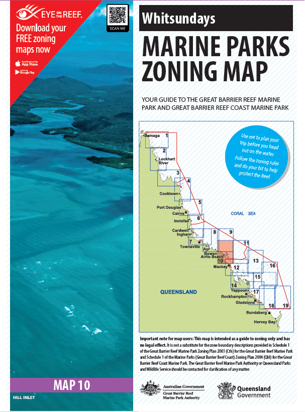
Whitsundays Marine Park Zoning Map
A copy is provided on board for your charter or you can download it now and get familiar with the marine park regulations.

Thinking about it?
Enquire today & get the conversation started!